Drone Photogrammetry & 3D Mapping in Los Angeles, CA
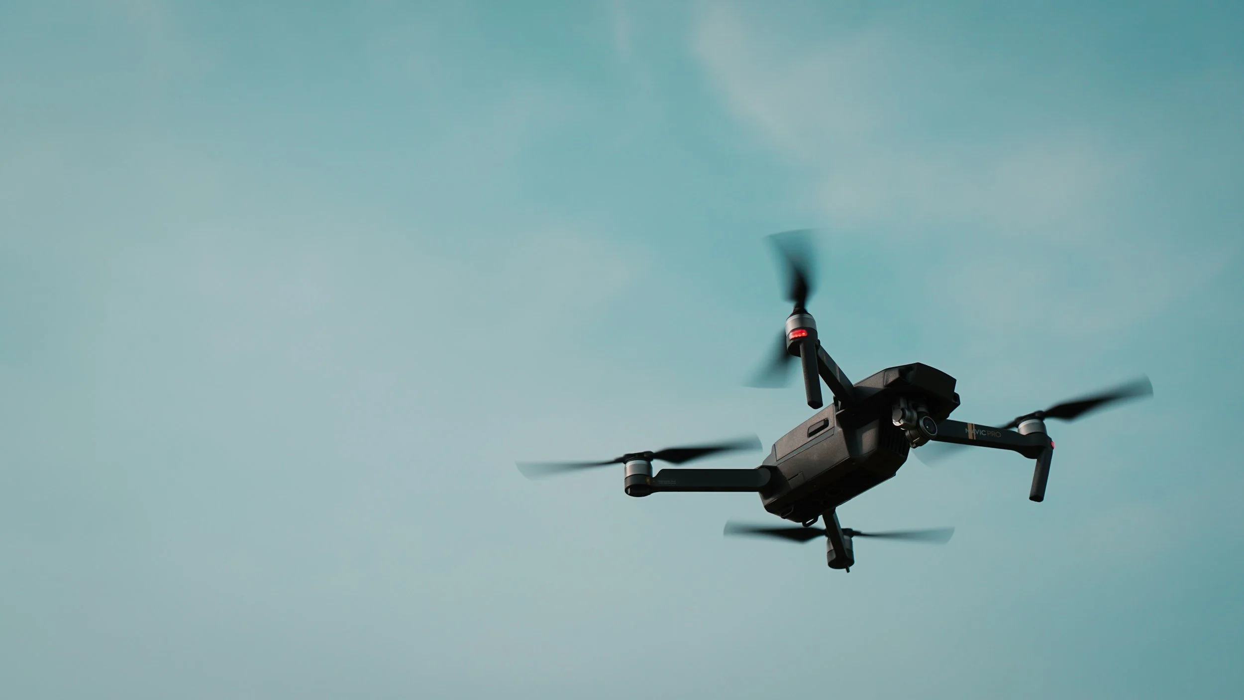
Survey-grade aerial maps, orthomosaics, and 3D models for construction and civil engineering teams across Los Angeles County and Southern California. Captured by FAA Part 107 licensed and fully insured pilots, processed through DroneDeploy, and delivered in 24 hours.
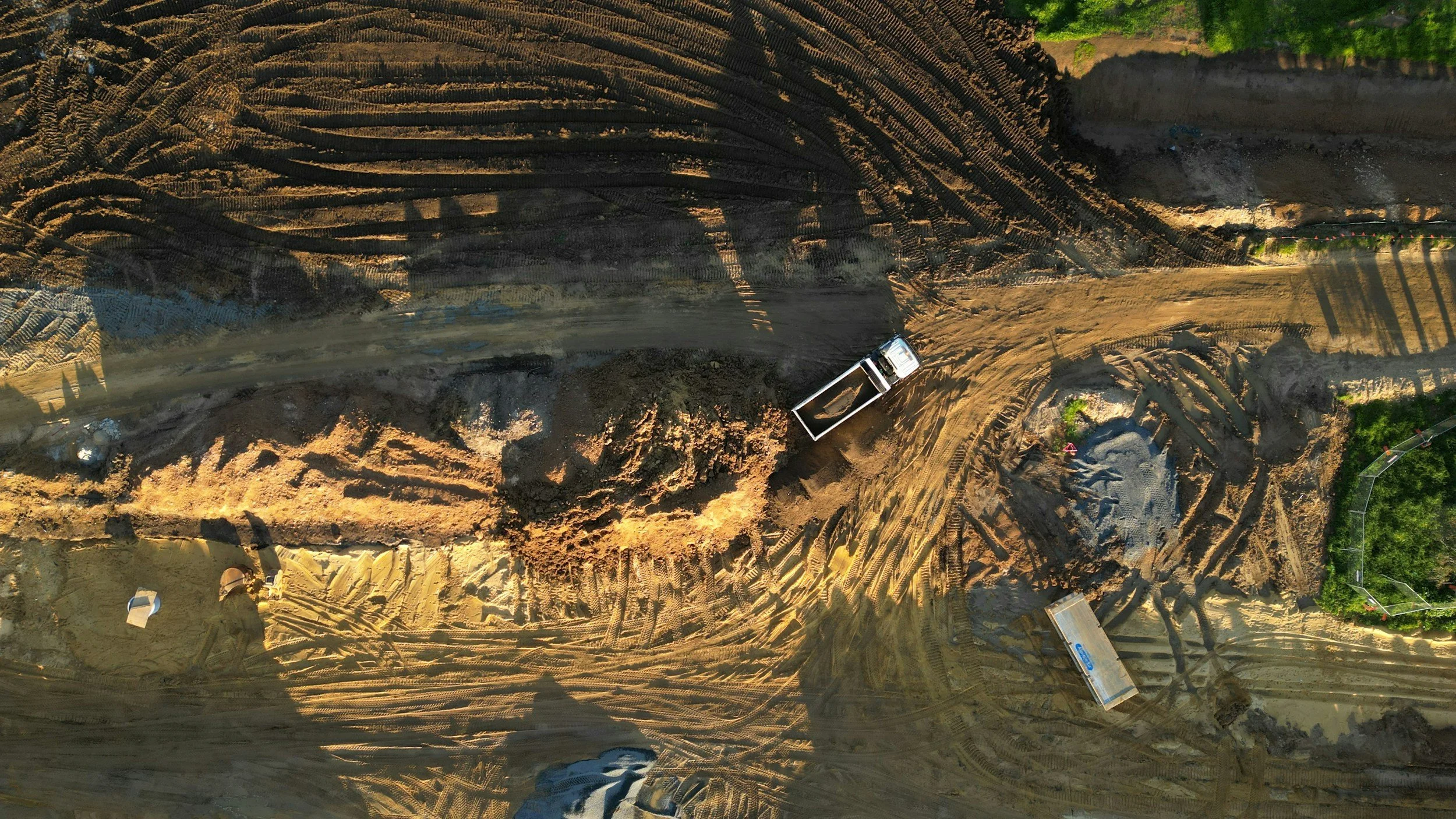
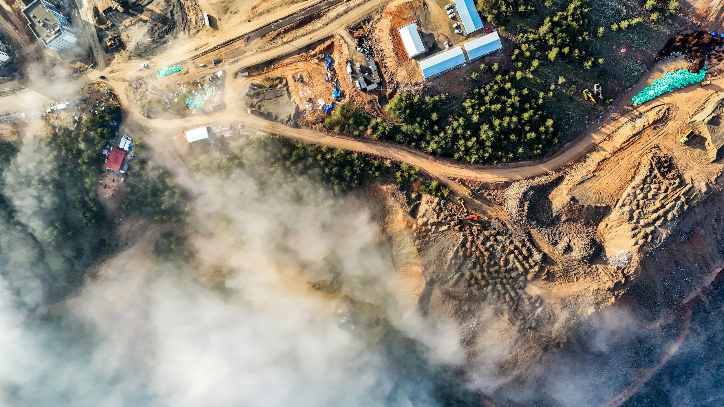
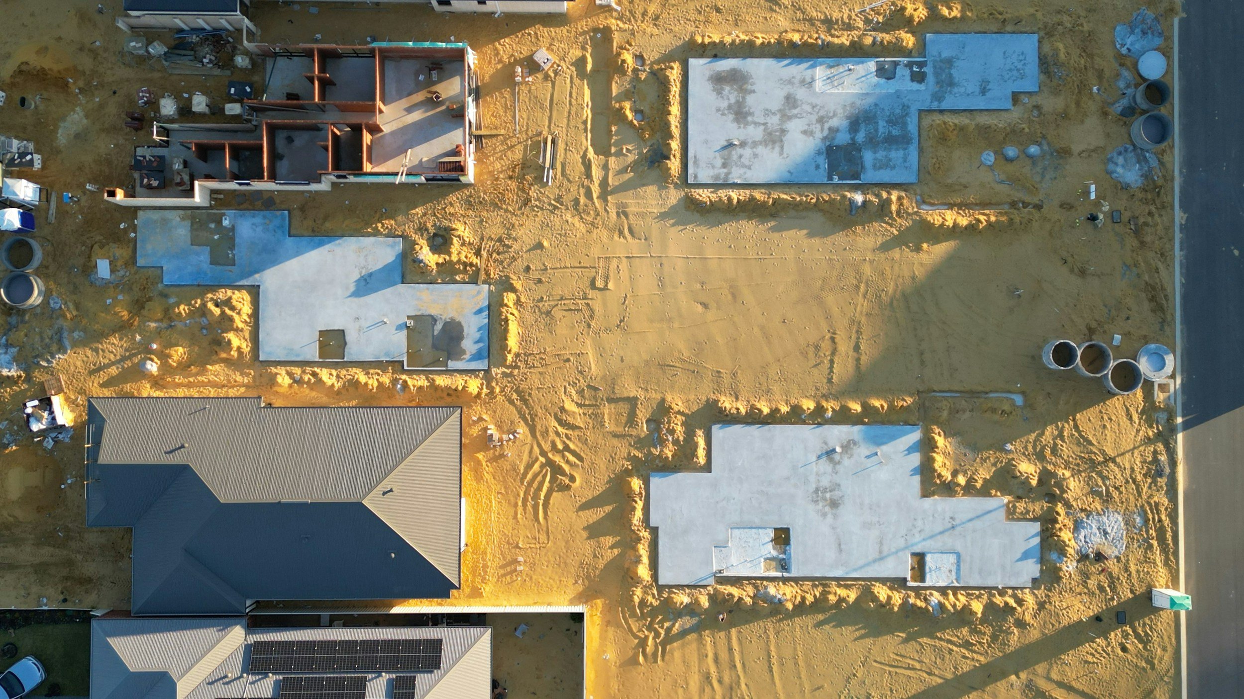
DroneXposed combines licensed drone operations with industry-leading DroneDeploy processing to deliver accurate, repeatable site data. Whether you’re tracking earthworks, scoping a development, or producing a topographic survey, we capture, process, and deliver outputs your team can put to work the same day.
What we deliver
Orthomosaics — high-resolution stitched site imagery
3D models — point clouds and textured meshes
DSM & DTM — digital surface and terrain models
Topographic contour maps for design and planning
Volume calculations — stockpiles, excavation, earthworks
Elevation profiles and cross-sections
Progress comparisons — flight-over-flight change tracking
Exports in GeoTIFF, OBJ, LAS/LAZ, and DXF — plus shareable DroneDeploy links
Industries we serve
Construction & Infrastructure
Track site progress, measure earthworks, and document changes flight-over-flight. Share live site data with project managers, owners, and engineers without anyone leaving the office.
Surveying & Civil Engineering
Cover acres in hours, not days. Capture survey-grade DSM/DTM and contour data that drops into your existing CAD and GIS workflows.
Featured projects
ALas Media
Aerial mapping and DroneDeploy 3D capture for Alas Media — Drone Xposed provides professional UAV flight operations and 3D mapping data acquisition services to Alas Media on a subcontract basis. Using DroneDeploy and FAA Part 107 certified pilots, we capture high-resolution aerial imagery and photogrammetric data that is processed into detailed 3D models and orthomosaic maps for client deliverables. Our role is field data acquisition: we fly the missions, collect the data, and deliver organized outputs that support Alas Media's project workflows.
SCVWA
Aerial mapping and DroneDeploy 3D capture for Santa Clarita Water Agency —Drone Xposed provides aerial data acquisition services for SCV Water Agency including exterior tank mapping and hillside terrain capture using FAA Part 107 certified UAV operations and DroneDeploy photogrammetric processing. We collect high-resolution imagery and generate 3D models and orthomosaic maps of water storage infrastructure and surrounding terrain to support the agency's asset documentation and site management needs. Our scope is field data collection and deliverable organization : we are not licensed surveyors and our outputs are intended for internal documentation and operational planning purposes.
How it works
Mission planning — We scope the site, file FAA airspace approvals where needed, and design a flight plan tuned to your deliverables.
Aerial capture — Part 107 licensed pilots fly the mission using DroneDeploy-integrated platforms.
Processing — Imagery is processed in DroneDeploy to generate orthomosaics, 3D models, and elevation data.
Delivery — You get a shareable DroneDeploy link plus exportable files ready for your team’s CAD, GIS, or project tools.
Ready to map your site?
Get a quote within 24 hours. Visit our Contact page or call (661) 400-8280.
Areas we serve
DroneXposed flies across Los Angeles County and Southern California. Active service areas include Los Angeles, Long Beach, Pasadena, Glendale, Burbank, Santa Monica, Beverly Hills, Culver City, the San Fernando Valley, Santa Clarita, Palmdale, Lancaster, the Antelope Valley, the Inland Empire, and Orange County. Most LA-area sites can be flown within 48 hours of booking.
Equipment & accuracy
We fly enterprise-grade DJI RTK drones and deliver survey-grade photogrammetry — typically 2 to 5 cm horizontal accuracy with ground control points. Imagery is processed in DroneDeploy and delivered in industry-standard formats including GeoTIFF, LAS/LAZ, OBJ, and DXF, compatible with AutoCAD Civil 3D, ArcGIS, Bentley MicroStation, and Revit.
Frequently asked questions
Are your pilots FAA Part 107 certified?
Yes. Every DroneXposed pilot holds a current FAA Part 107 Remote Pilot Certificate and we carry aviation liability insurance on every flight.
Can you handle LAANC airspace authorizations near LAX, Burbank, and Van Nuys?
Yes. We obtain LAANC authorizations and FAA airspace waivers as needed for sites near LAX, Hollywood-Burbank, Van Nuys, Santa Monica, Long Beach, and other controlled airspace across LA County.
How accurate are your photogrammetry deliverables?
With ground control points and our RTK drones, we routinely deliver 2 to 5 cm horizontal accuracy and 3 to 7 cm vertical accuracy. We provide an accuracy report with every survey-grade deliverable.
How fast can you turn around a project?
Most LA-area sites can be flown within 48 hours of booking, and standard deliverables are returned within 24 to 72 hours after the flight. Rush turnaround is available.
What does a drone mapping project cost in Los Angeles?
Pricing depends on site size, deliverables, and accuracy requirements. Most LA-area photogrammetry projects start around $1,500 to $2,500 per flight day. Contact us for a fixed quote within 24 hours.